Parts of Georgia receive above average rainfall
Published 2:00 pm Thursday, March 5, 2020
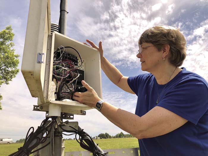
- On a sunny day in 2018, Pam Knox checks the data logger at the University of Georgia weather station on the Durham Horticulture Farm in Watkinsville.
Bright green grass across the fields, lawns and roadsides of northern and central Georgia is making those parts of the state look more like Ireland than a typical Georgia in February. Copious rain, coupled with periods of much warmer-than-normal temperatures, is waking up plants early and causing them to green up.
The National Phenological Network says that Georgia is almost three weeks ahead of usual in signs of spring.
Rainfall across northern and central parts of Georgia has been much above normal, with some areas receiving more than 7 inches of rainfall so far in February. Parts of the northeast mountains have received almost a foot of rain this month, including some melted water from snow.
With the average precipitation for the month ranging from about 4.5 inches in most areas to 6.5 inches in the mountains, February has already surpassed the monthly average rain total at many locations.
Many University of Georgia weather stations are experiencing their top five wettest Februaries on record, including Athens (first), Atlanta (third), Macon (fourth), and Columbus (fifth). These stations are also recording winter precipitation amounts in the top five highest. Athens is rated as highest ever, with Augusta, Columbus and Macon the third wettest, and Atlanta the fifth wettest winter to date. This is likely to make the winter season — November through February — one of the wettest on record for Georgia.
By comparison, parts of southern Georgia are fairly dry, with rainfall amounts of less than four inches along the Coastal Plains. The southeast coast has been the driest part of the state, with Savannah reporting 2.9 inches and Brunswick receiving only 1.64 inches for February so far.


